right in the middle of
contact
contact
3 °C
Webcams
20 / 84 lifts
30 / 172 slopes
back
Haus-Aich

Ennsrunde: The Classic Run
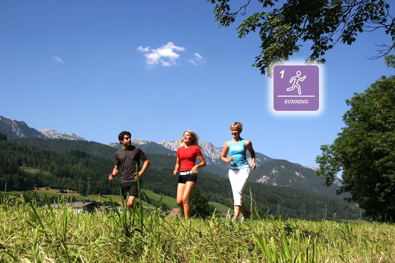
Tour description

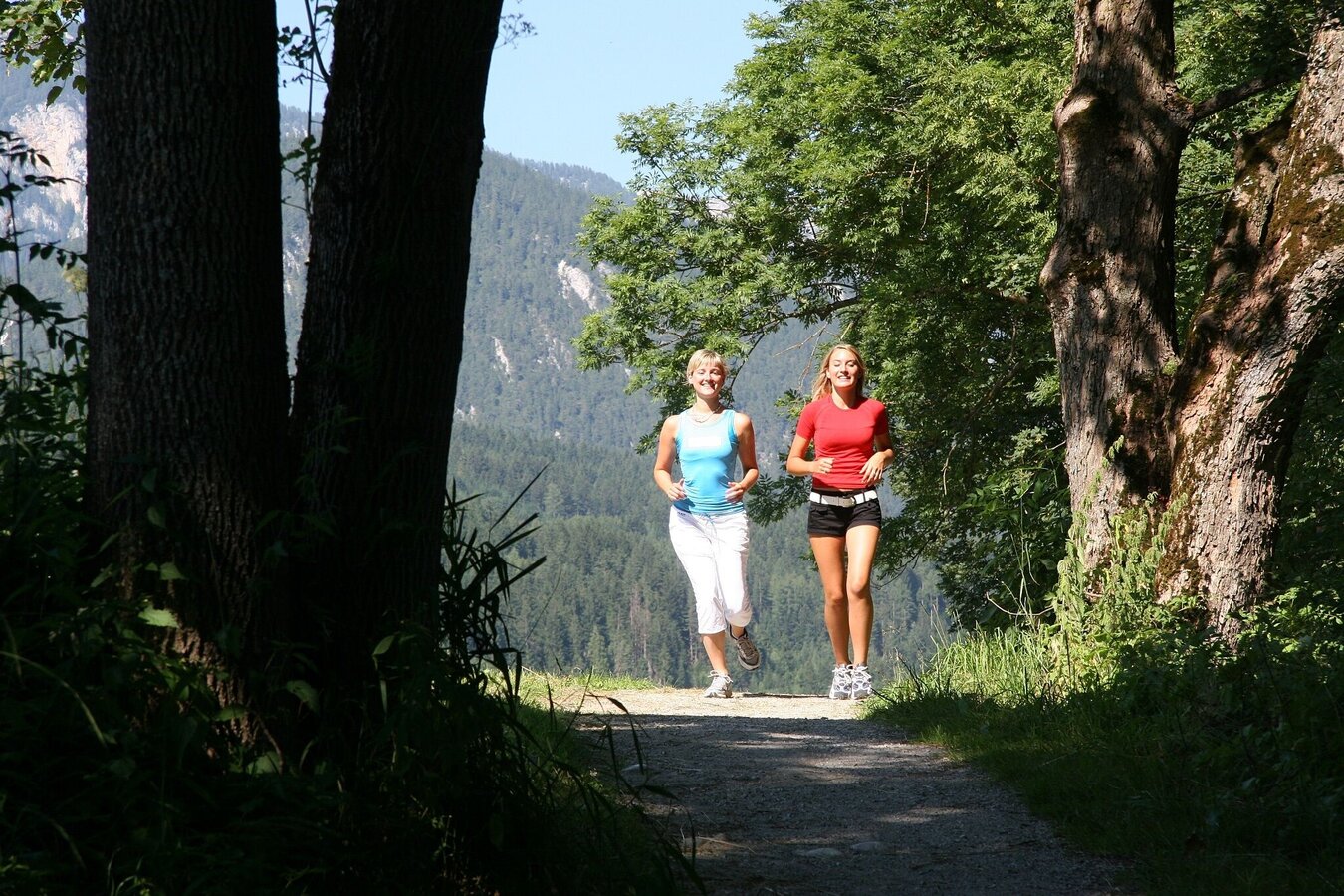
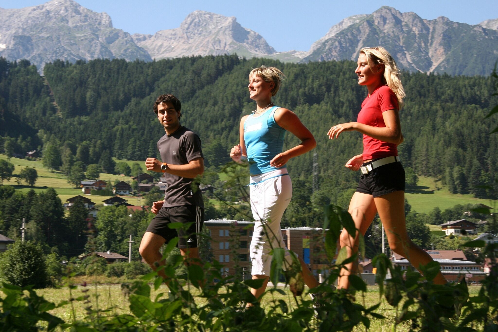
The “classic” tour for many Schladming locals also begins at the Enns bridge and follows the Enns Tour. The run covers 25 vertical meters and 4.5 km out to Lehenbrücke bridge and back. This route takes you from the stadium in the direction of the congress center, passing this to the right and bringing you to the right bank of the River Enns, which you will then follow as far as Lehenbrücke bridge, then taking the left bank of the Enns back to the start.

The tour

Starting and end point Gollobsteg pedestrian bridge near congress Schladming
Tour characteristics
Fitness (2/6)
Information
Distance: 4.46 km
Duration: 40 min
Ascent: 27 m
Descent: 26 m
highest point: 743 m
Best season
Jan
Feb
Mar
Apr
May
Jun
Jul
Aug
Sep
Oct
Nov
Dec

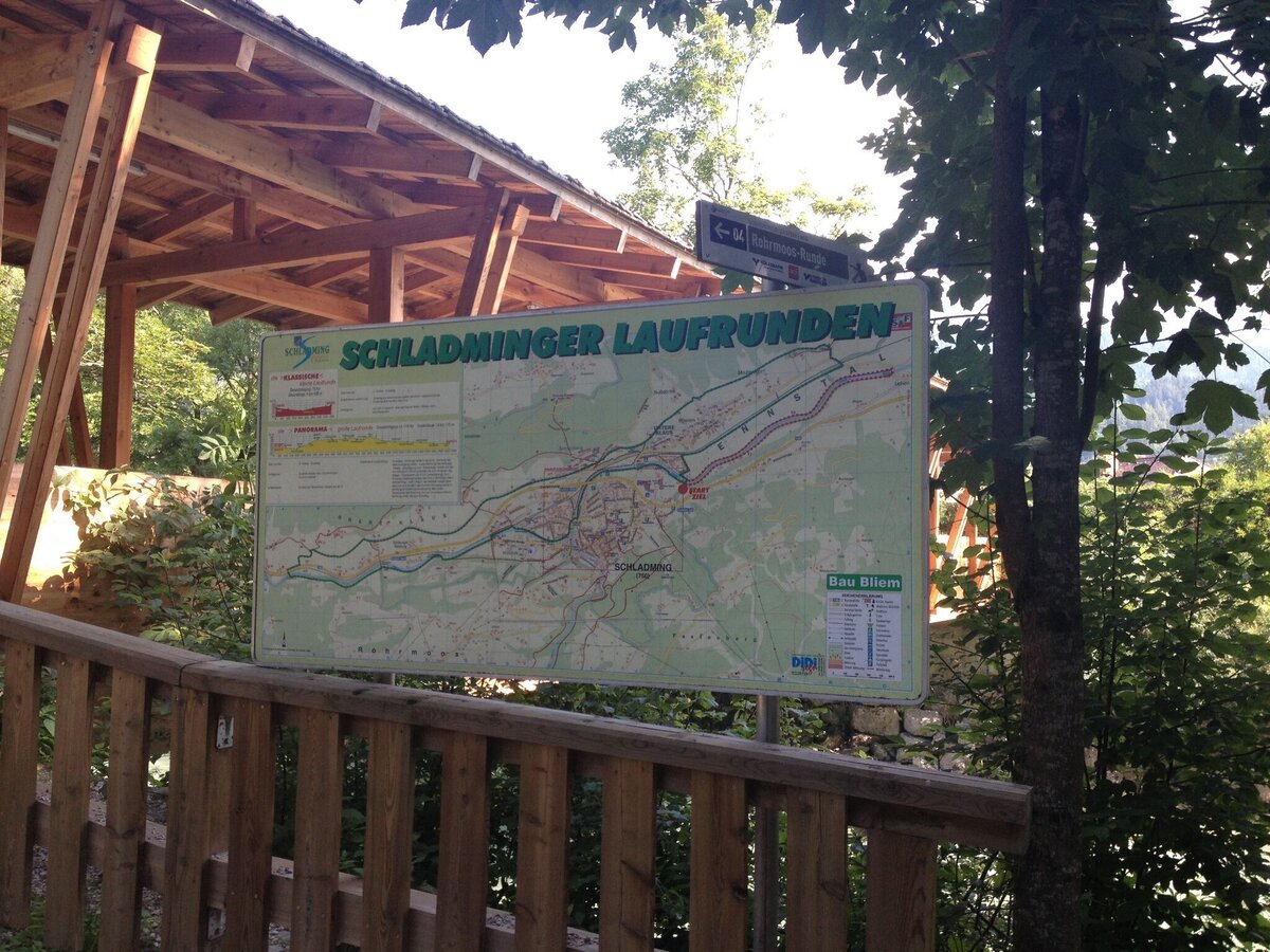
Map, elevation profile & further information

It is your choice whether you take the trail along the left or right bank of the river Enns. From the pedestrian bridge near congress Schladming you run downstream for approximately 2 kilometers, where you cross the Lehenbrücke bridge and make your way back on the other side of the river.
Exit from federal highway B320 at "Schladming-Ost" and continue to the congress center "congress Schladming". The run starts behind the congress center at the bank of the river Enns.Parking (for a fee) is available at the congress center "congress Schladming" or at planai stadium.

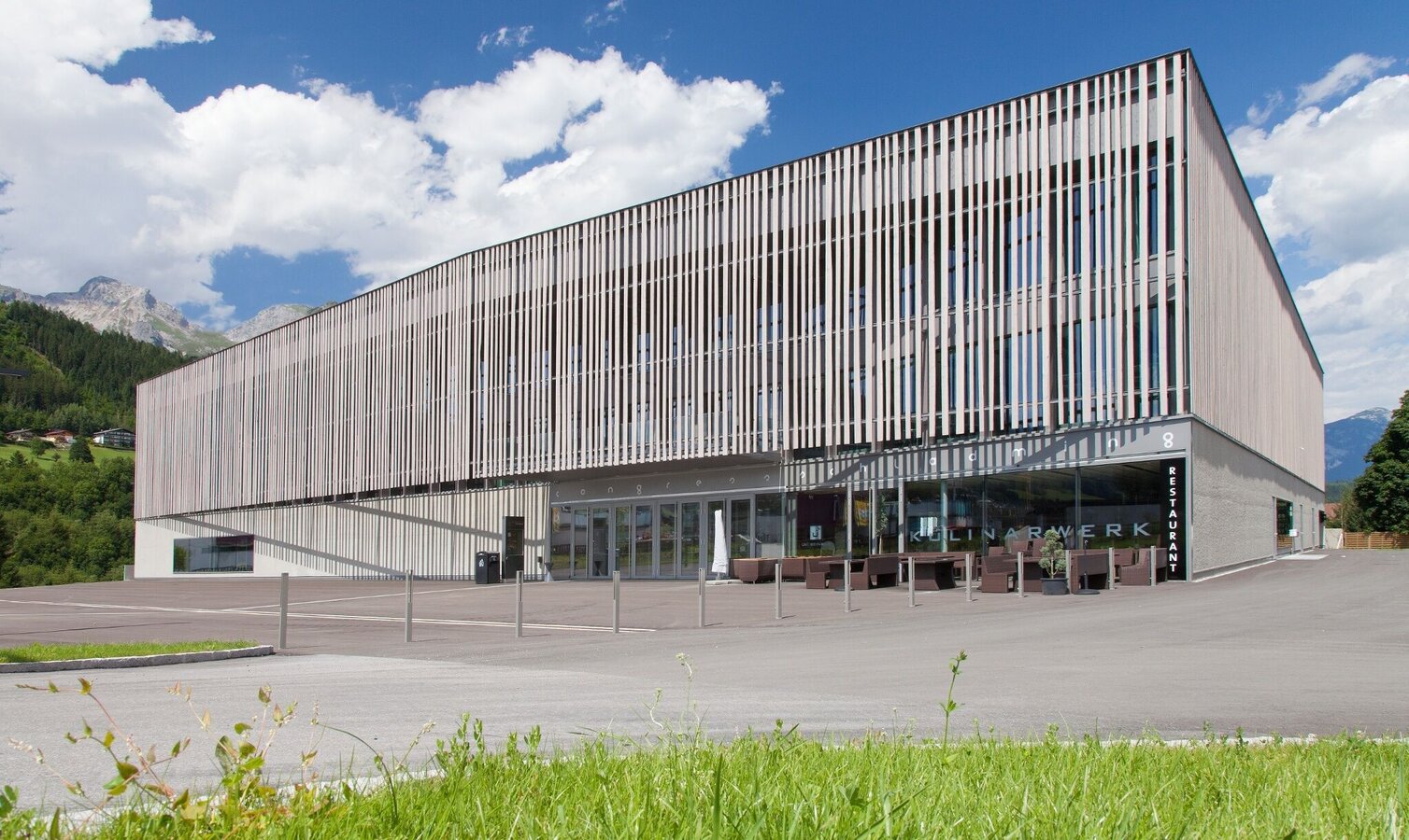
The closest bus stop is at WM-Park Planai at the valley terminal of Planai gondola - bus stop "Planet Planai". From there follow the yellow signage of "Enns tour" hiking trail to the starting point at "Gollobsteg" pedestrian bridge, which is situated next to Hotel Vital and close to congress Schladming.

The surface along The Classic Run is generally easy and without technical difficulty. However, the section on the right river bank from the heating plant downstream is a trail with roots and partially covered with grass - therefore it can be uneven.

Trail running shoes are recommended.
It is also possible to run this tour in the winter (along the left river bank of the river Enns).

Tourist information: www.schladming.com

Information about bus schedules: www.planaibus.at

360° drone images

Get yourself an overview with our 360° drone images:

  • Tourist map "Hiking - Running - Walking", available at the tourist office Schladming.
  • Tourist map "Hiking - Running - Walking", available at the tourist office Schladming.

Wheather predicition

today
02.12.2025
Mountain 3 °C
Valley 4 °C
Snow
Mountain
0 cm
Valley
0 cm
Wind speed
Sued
5 km / h
Precipitation
Probability
0 %
Amount
0 l/m²
Sun
Sun hours
6.9 h
Sunrise
07:33 o clock
Sunset
16:16 o clock

Foggy or hazy to start, then clearing up quickly, and most of the day will be sunny.

tomorrow
03.12.2025
Mountain 2 °C
Valley 3 °C
Snow
Mountain
0 cm
Valley
0 cm
Wind speed
Sued
5 km / h
Precipitation
Probability
0 %
Amount
0.1 l/m²
Sun
Sun hours
6.5 h
Sunrise
07:34 o clock
Sunset
16:15 o clock

Foggy or hazy to start, then clearing up quickly, and most of the day will be sunny.

day after tomorrow
04.12.2025
Mountain 3 °C
Valley 3 °C
Snow
Mountain
3 cm
Valley
2 cm
Wind speed
Sued
5 km / h
Precipitation
Probability
45 %
Amount
3.2 l/m²
Sun
Sun hours
3.4 h
Sunrise
07:35 o clock
Sunset
16:15 o clock

Fair or bright in the beginning, cloudy towards the end of the day.

Tours nearby