Haus-Aich
Freienstein Trail (No. 7)
Trailrunning
Data:
Tour description
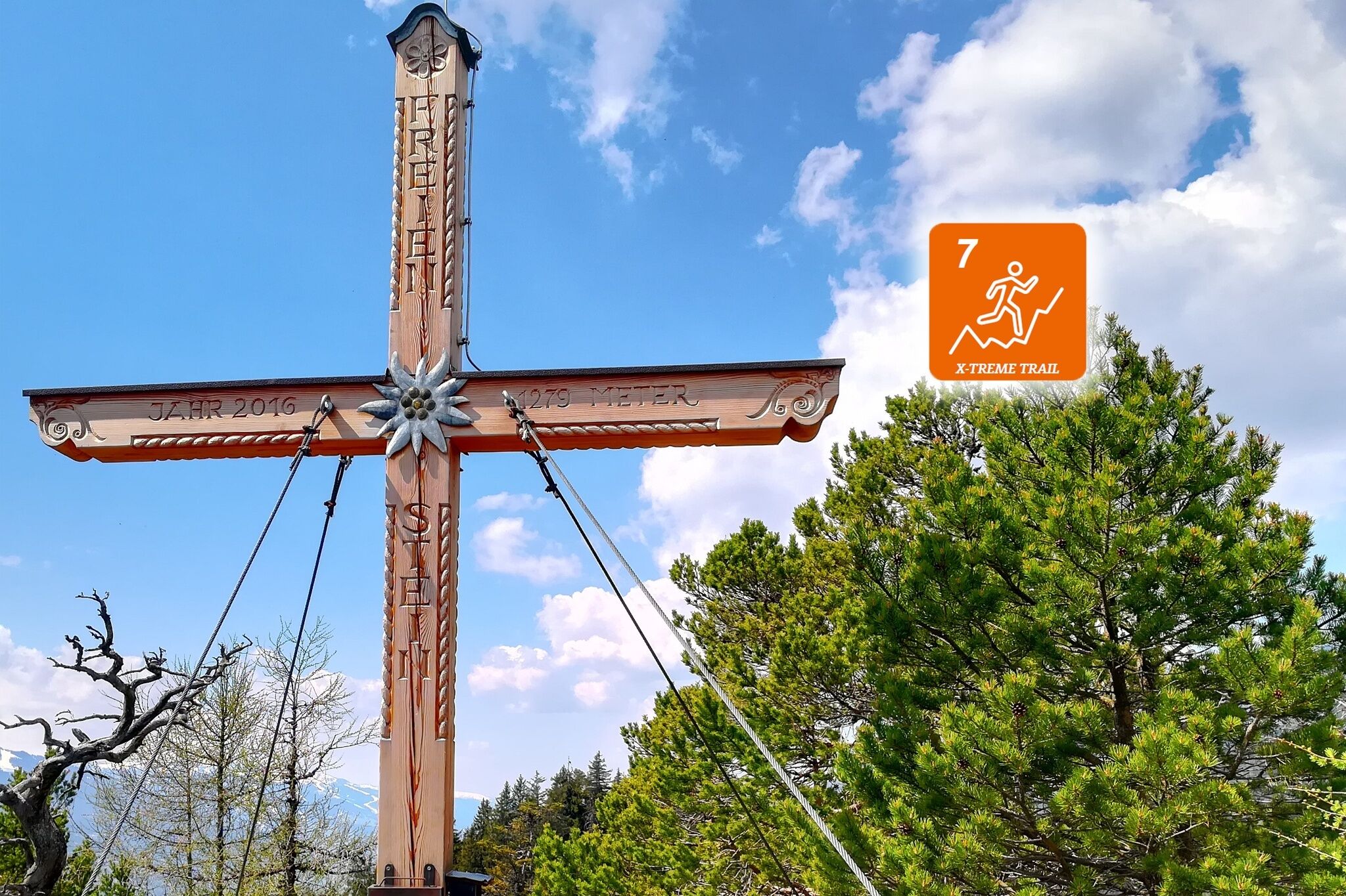
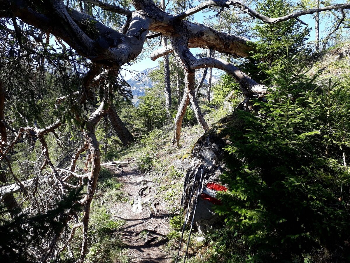
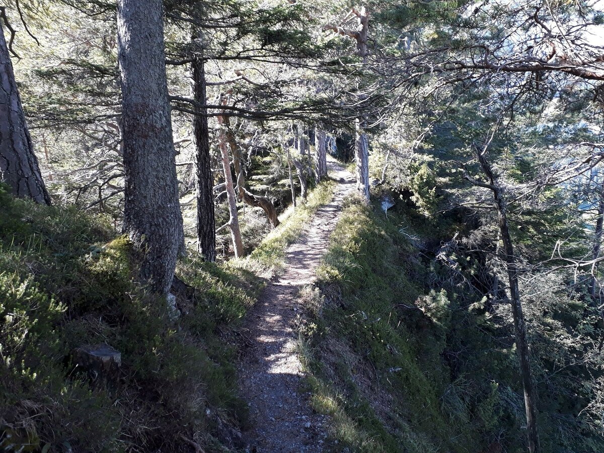
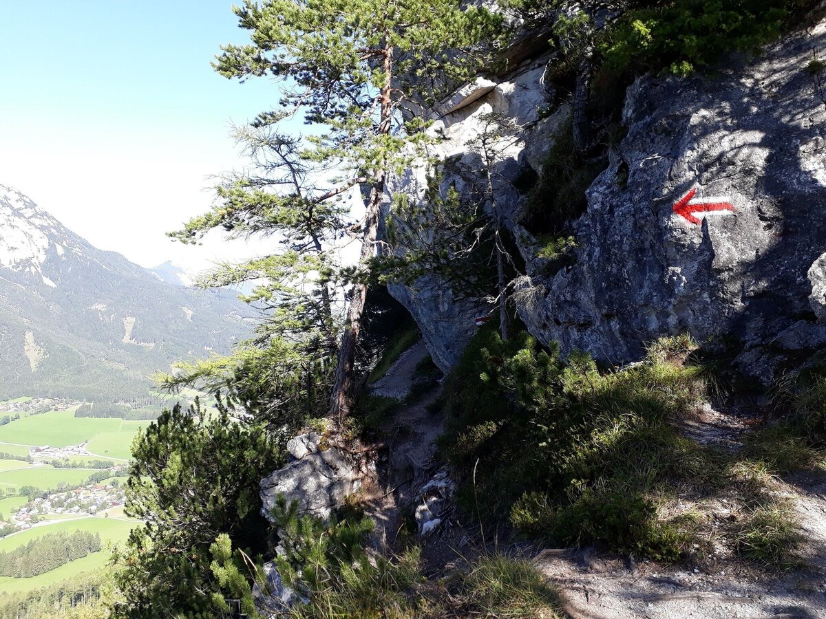
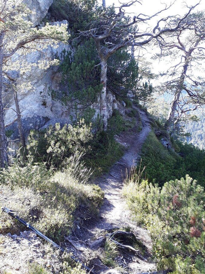
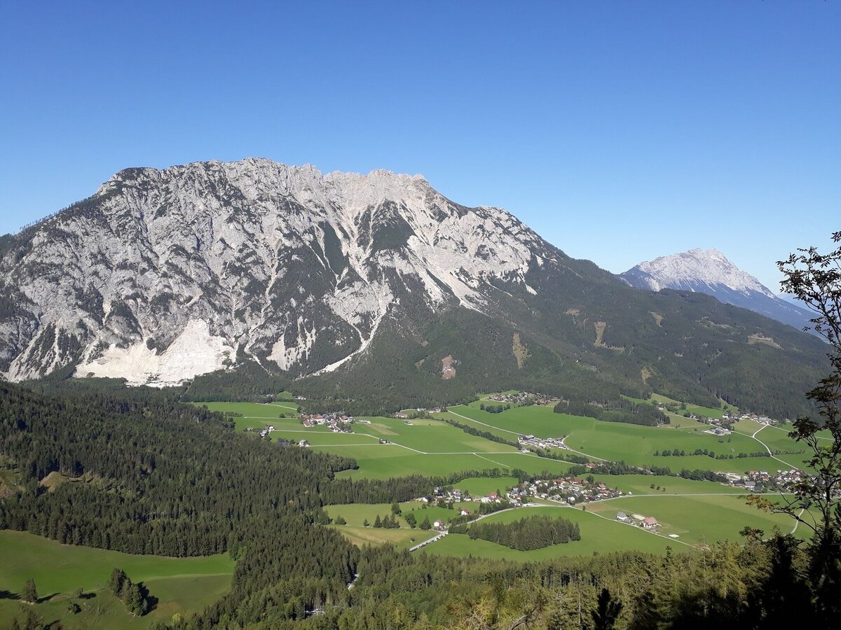
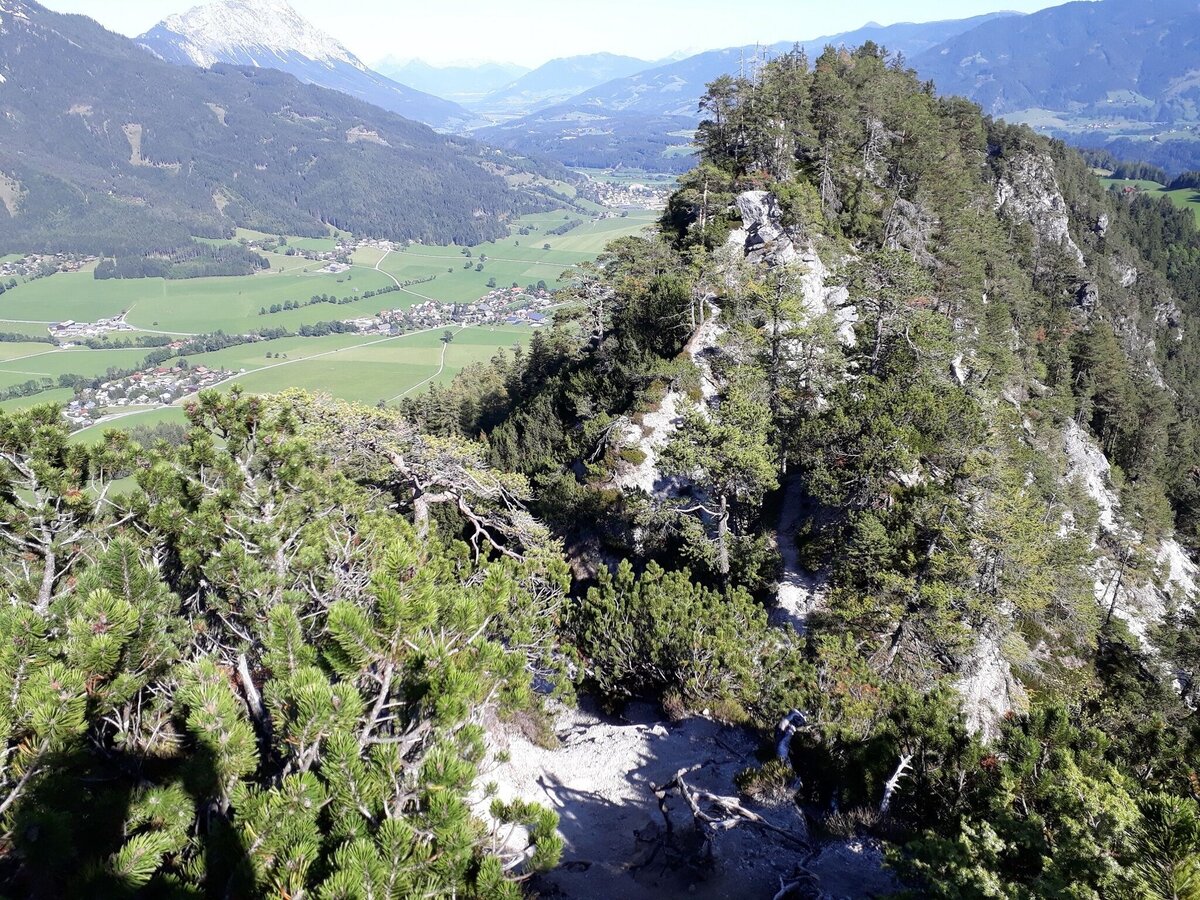
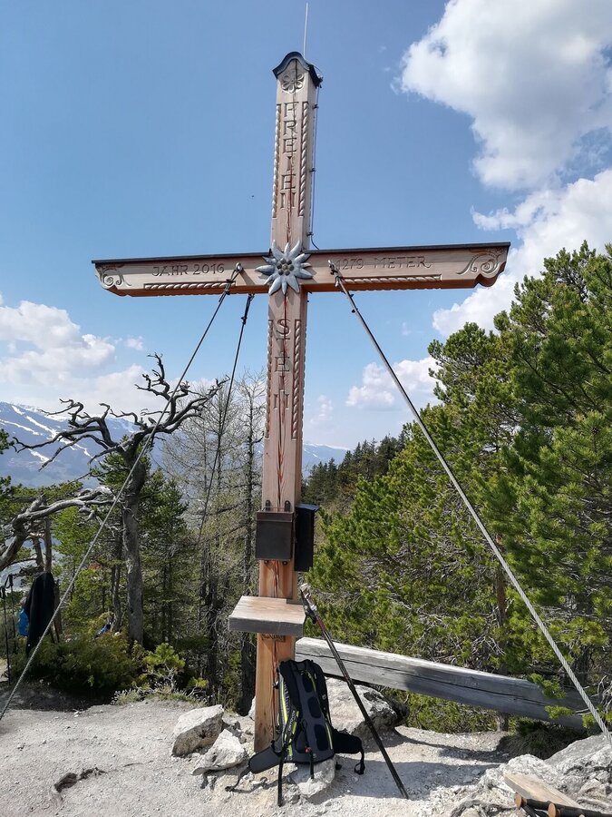
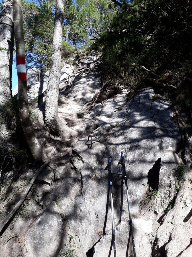
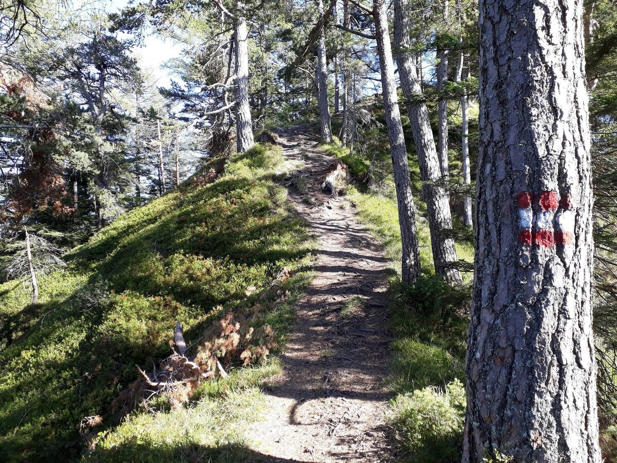
Over meadow, forest and woodland paths, as well as partially asphalted roads (at the end of the tour), this route leads from Aich to the 1,279 m high Freienstein. On the ascent and descent to the Freienstein there are sometimes more demanding passages where a certain amount of head for heights is required.
The tour
difficult
publicly accessible
Starting and end point
Village square Aich
Tour characteristics
Distance: 14.43 km
Fitness (6/6)
Skills (5/6)
Information
Distance: 14.4 km
Duration:
2:40 h
Ascent: 768 m
Descent: 768 m
highest point: 1276 m
Best season
Jan
Feb
Mar
Apr
May
Jun
Jul
Aug
Sep
Oct
Nov
Dec
Map, elevation profile & further information
start: village square Aich/parking area inn GrafenWirt - railroad crossing - Enns River bridge - crossroad Millereck - Mölltal - follow the meadow path - at the crossroad in the wood turn right (signs) - Schoarweg - Assacher Tenne - uphill until Assacher Scharte - follow the Goassweg in eastern direction - at the next bigger crossing (signs with Baumhoroskopweg, Gröbming, Pruggern, Freienstein, . . .): ascent to the Freienstein - follow the signposted path (It is necassary to have a good head for heights.) - enjoy the view from the peak Freienstein at 1,279 m - descent to Assacher Scharte - follow the forest road until the fire department Assach - turn right and follow the street back to village square Aich
main road (B320) - exit: Aich - village square Aich/parking area inn GrafenWirt
Parking area inn GrafenWirt
Public parking area opposite the Hotel Bärenwirt (next to the Enns river)
bus (line 900) - exit: Aich Bundesstraße
Regional trains that stop at railway station Aich.
sufficient condition, sturdy and well broken-in shoes, sticks, enough to drink
Don't forget your entry in the summit book at Freienstein :-)