Ramsau am Dachstein
Hiking and chalet experience Halserberg-Rittisberg
Family hiking trails
Data:
copyright: Christine Höflehner
copyright: Christine Höflehner
copyright: Christine Höflehner
copyright: Schladming Dachstein
copyright: Christine Höflehner
copyright: Christine Höflehner
copyright: Christine Höflehner
copyright: Christine Höflehner
copyright: Tourismusverband Ramsau am Dachstein
copyright: Christine Höflehner
copyright: Christine Höflehner
copyright: Christine Höflehner
Tour description
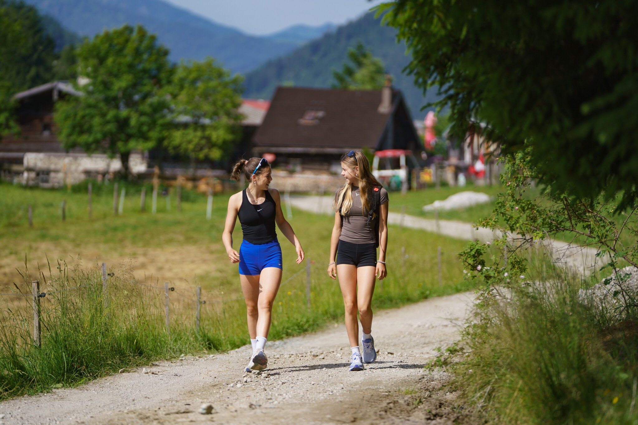
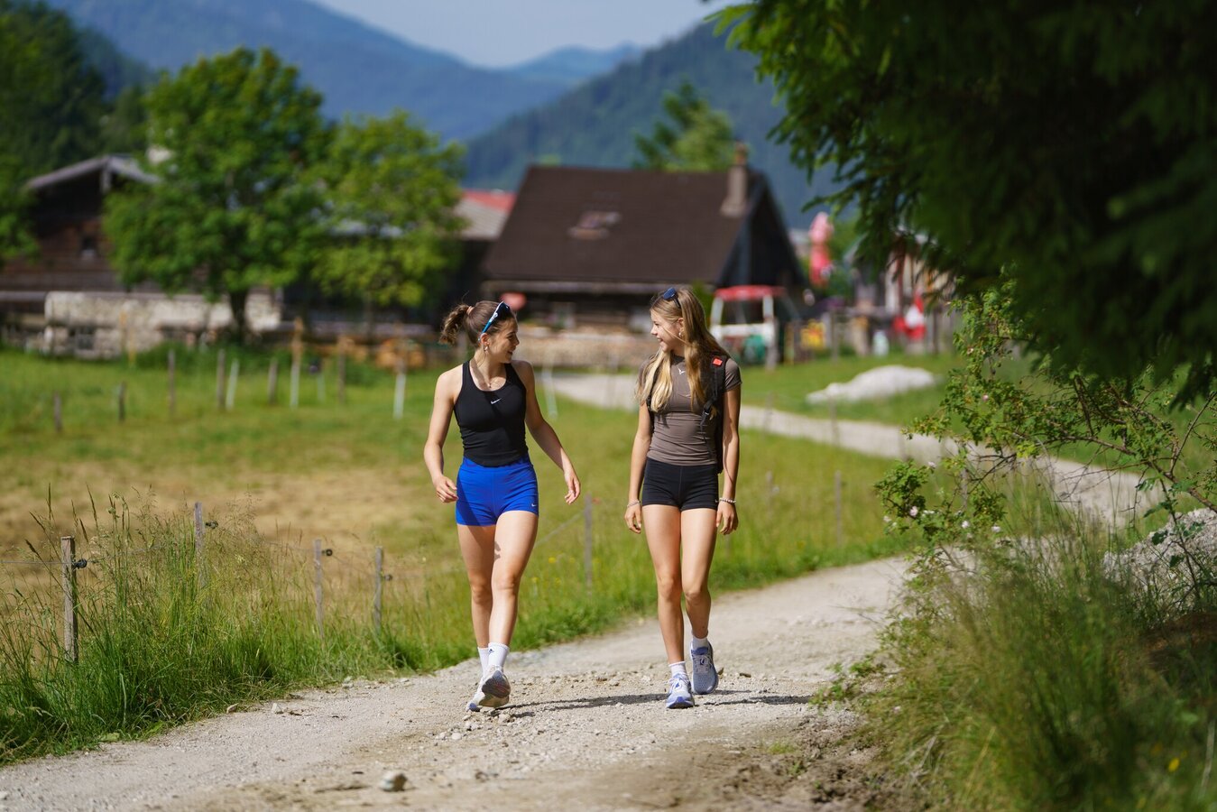
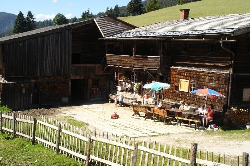
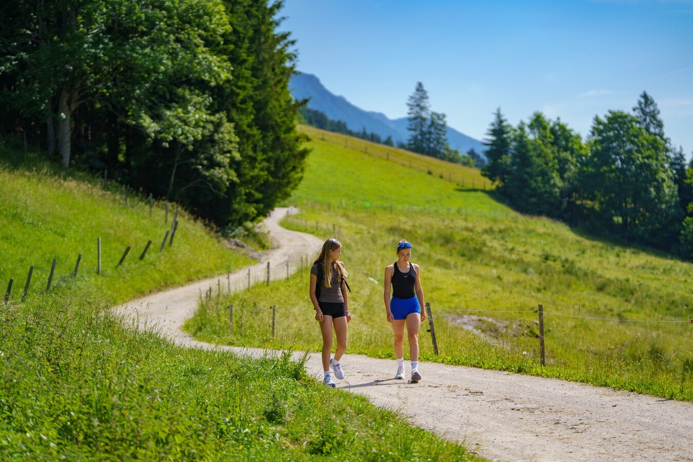
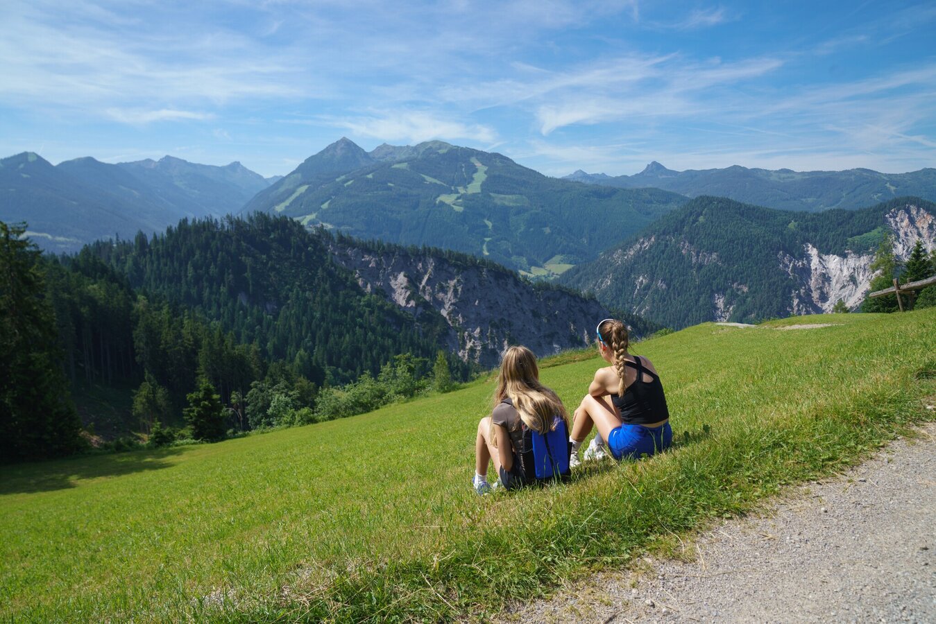
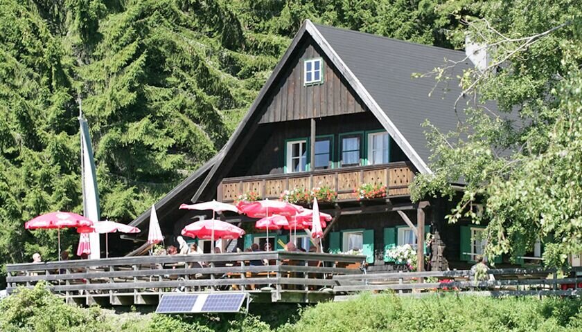
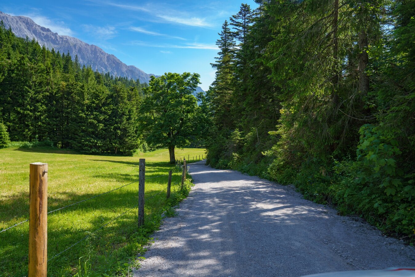
A wide footpath, also easily accessible with a stroller (from Sonnenalm towards Ochsenalm a little more difficult but possible), offers you a wonderful view of the Schladminger Tauern mountains. The cosy huts ‘Halser-, Sonnen- and Ochsenalm’ serve all kinds of delicacies from the region. The famous flambéed Kaiserschmarren at the over 400-year-old Halseralm, the jolly landlord at the Sonnenalm and the quietly situated Ochsenalm are all part of this fantastic hike.
NOTE: The path between the Sonnenalm and the Ochsenalm is not suitable for strollers.
NOTE: The path between the Sonnenalm and the Ochsenalm is not suitable for strollers.
The tour
easy
publicly accessible
Starting point
Hiking trail head Vorberg-Arnika
Destination
Halseralm, Sonnenalm or Ochsenalm
Tour characteristics
Distance: 11.7 km
Fitness (2/6)
Skills (2/6)
Information
Distance: 11.7 km
Duration:
4:00 h
Ascent: 355 m
Descent: 355 m
highest point: 1288 m
Best season
Jan
Feb
Mar
Apr
May
Jun
Jul
Aug
Sep
Oct
Nov
Dec
Map, elevation profile & further information
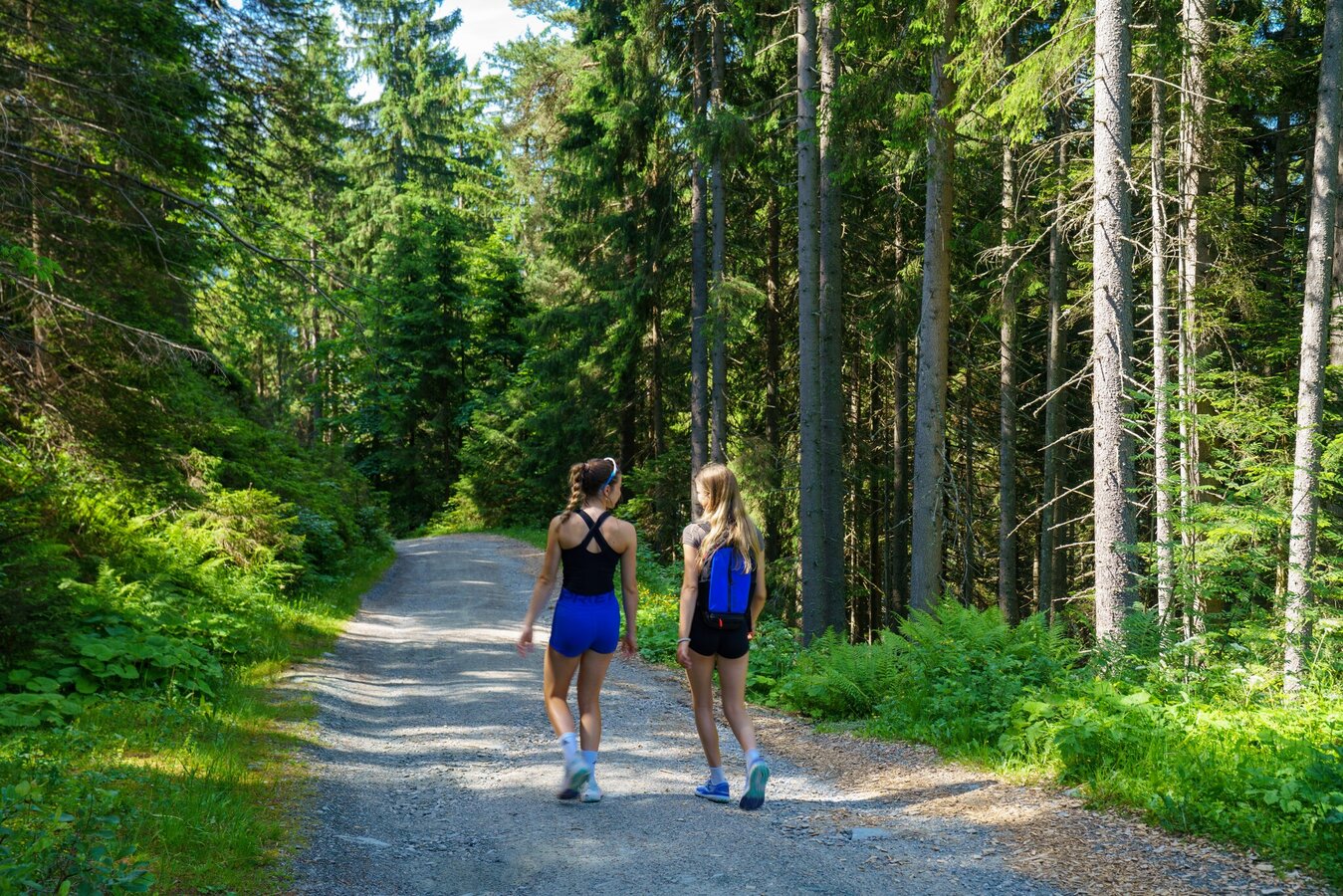
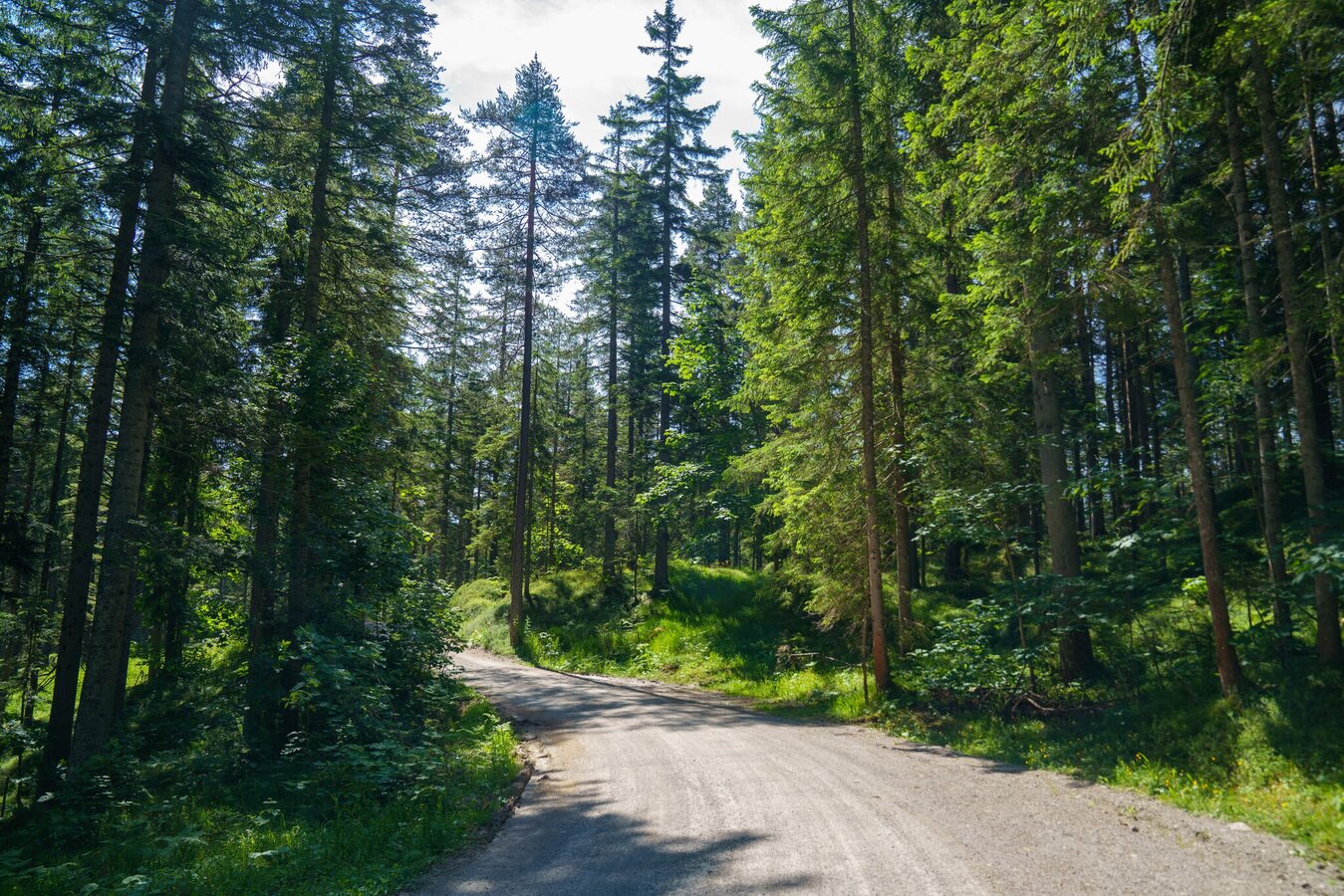
From the hiking trail head Vorberg-Arnika follow the forestry road to the North. After a couple of minutes walk through the forest you reach a trail junction where you make a left towards the chalets and inns. The trail now runs along the edge of the forest to the inns. At first you reach Halseralm Chalet, shortly after Sonnenalm Chalet, and finally Ochsenalm Chalet. Also walkable when the weather is bad!
Alternative route for the way back:
This hike can be extended at will, for example across the Höhenweg to the Rittisstadel (not suitable with a stroller).
Exit from federal highway B320 at Pichl (approximately 4 kms West of Schladming) and continue towards Vorberg. Pass by Hotel Steirerhof and continue to Pension Arnika, where the hiking trail head Vorberg-Arnika is located.
Parking is available at the hiking trail head Vorberg-Arnika.
Parking is available at the hiking trail head Vorberg-Arnika.
Buses of Ramsauer Verkehrsbetriebe: www.rvb.at
Changes in weather patterns, quick falls in temperature, thunderstorms, wind, fog and snow are some of the dangers that can be encountered on a hiking tour. Hosts of alpine huts and mountain refuges have a lot of experience in the mountains and can give good advice about weather and the trails. Poor equipment, overestimation of one's own capabilities, carelessness, poor personal constitution and/or wrong judgement can lead to critical situations. In case of thunderstorms: avoid summits, ridges and steel ropes.
GPS data and orienteering
Available GPS data - just like hiking maps - is only a guidance for orientation and can never depict a trail exactly with all its details. Especially at dangerous spots it is essential to judge on site how to proceed.
In an emergency please call:
- 140 - for Alpine emergencies (all over Austria)
- 112 - European GSM emergency number
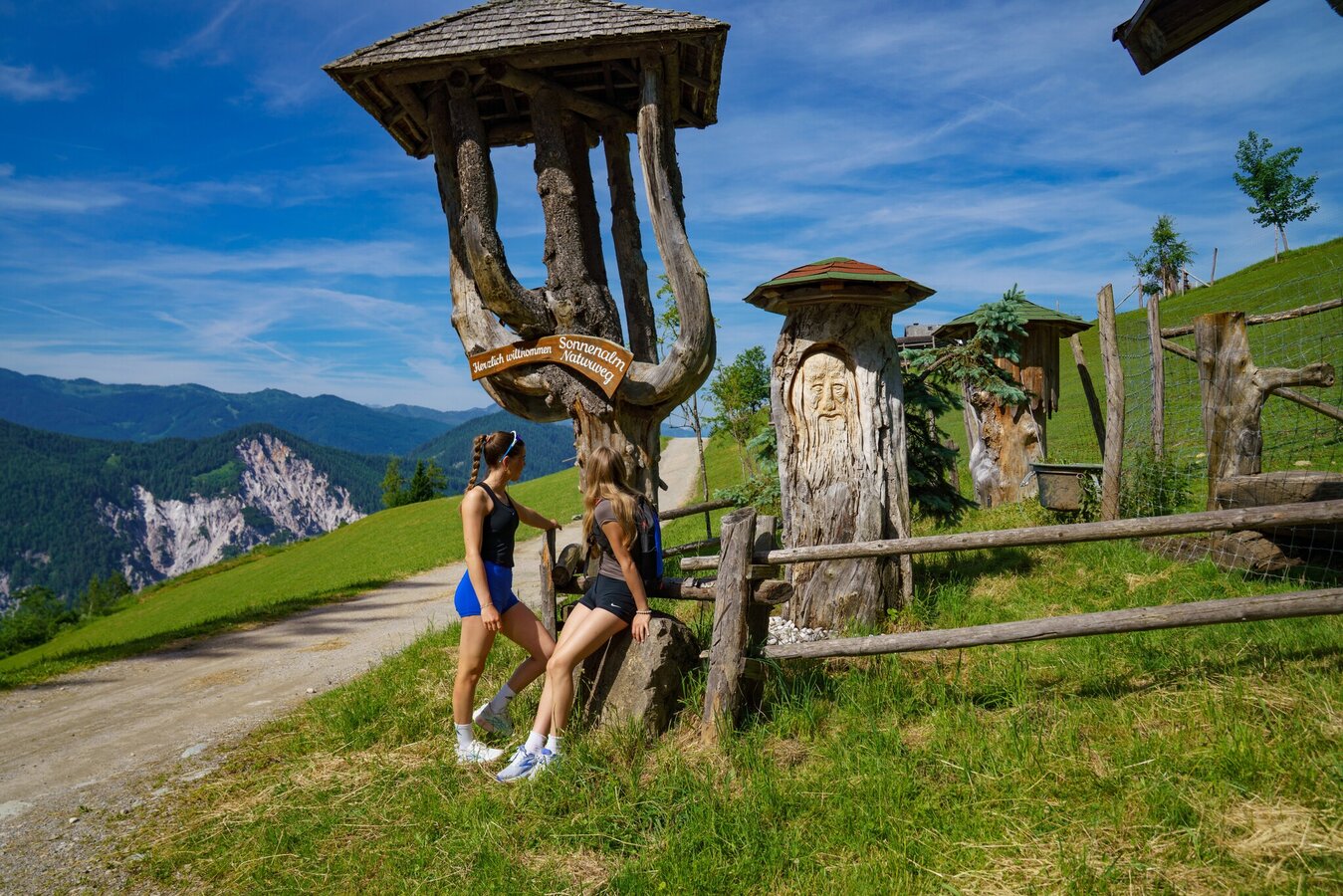
Jägersteig and Sonnenalm Panorama Trail start at Sonnenalm Inn. The nature trail invites kids to play and explore.Information about bus schedules: www.rvb.at
- Hiking map ‘Hiking WEST’ available at the information offices in the region.
- Schladming hiking map, 1:25,000, available at the Schladming information office.
- Hiking map Schladming-Dachstein, 1:50,000, available at the information offices in the region.
- Hiking guide Schladming-Dachstein by Herbert Raffalt, available at the information offices in the region.