Schladming
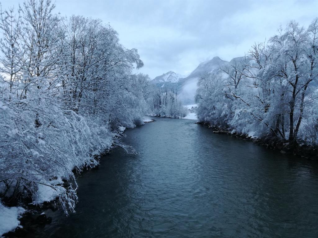
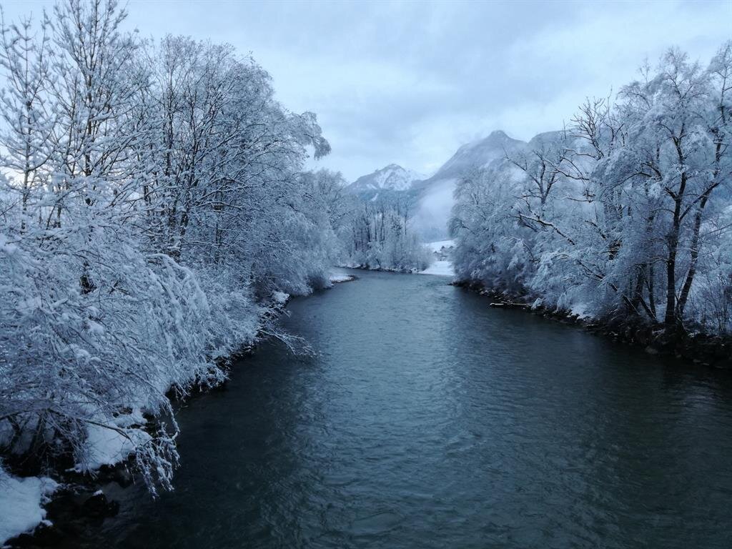
Winter walking along the Enns
Winter walking
Data:
Tour description
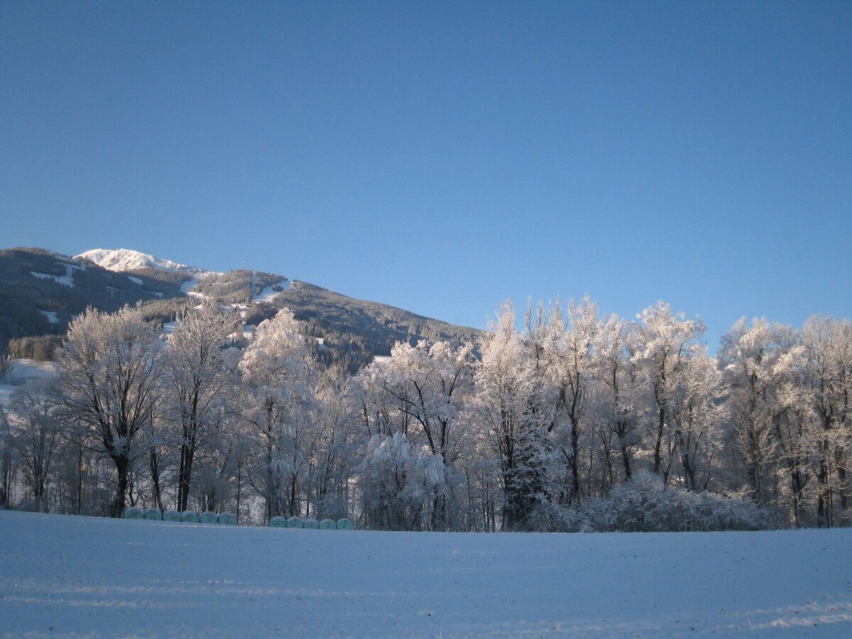
Beautiful walking trail along the river Enns in the Eastern suburb of the town Schladming.
The tour
easy
publicly accessible
Starting and end point
Hiking trail head Planai stadium
Tour characteristics
Distance: 6.3 km
Information
Distance: 6.3 km
Duration:
1:35 h
Ascent: 25 m
Descent: 25 m
highest point: 740 m
Best season
Jan
Feb
Mar
Apr
May
Jun
Jul
Aug
Sep
Oct
Nov
Dec
Map, elevation profile & further information
From the valley terminal of Planai cable-car you follow the yellow signage of "Ennsrunde" to the congress center "congress Schladming". After the congress center make a right and - between congress Schladming and hotel Falkeinsteiner - walk to the river Enns. Make a right again and after about 200 m you reach the pedestrian bridge "Gollobsteg" where you cross the river. Make a right again and now follow the beautiful Enns trail until you reach Lehenbrücke bridge. For the way back take the same way or alternatively make a left at Lehenbrücke bridge and follow the road until you reach the level crossing. Before crossing the railroad make a left and follow the paved path to the Athletic Area. There, make a left and walk over to Enns river where you follow the route you came, bach to your starting point.
From federal highway B320 take exit "Schladming-Ost". Continue to the roundabout (Spar/Salewa Mountain Shop) and take the 3rd exit towards "Zentrum" (town center). At the following roundabout again take the 3rd exit, which will take you directly to the valley terminal of Planai cable-car at Planai stadium.From federal highway B320 take exit "Schladming-Ost". Continue to the roundabout (Spar/Salewa Mountain Shop) and take the 3rd exit towards "Zentrum" (town center). At the following roundabout again take the 3rd exit, which will take you directly to the valley terminal of Planai cable-car at Planai stadium.
Parking is available at the valley terminal Planai stadium.
Parking is available at the valley terminal Planai stadium.
In the town of Schladming you can take the Citybus. From Rohrmoos take the Planai buses to Planet Planai, from Ramsau take the buses of Ramsauer Verkehrsbetriebe.
- Citybus and buses from Rohrmoos - www.planaibus.at
- Buses from Ramsau - www.rvb.at
The trail is graveled and well maintained, however in winter icy spots are always possible. Good winter shoes, warm clothing, tuque, and gloves. You might also want to carry a small backbag with a warm drink in a thermos jug.
Tourist information: www.schladming.com
Information about bus schedules: www.rvb.at, www.postbus.at
Overview map "winter experience map", available at the tourist office Schladming.