
Bike & Hike Tour Brandalm
Tour description
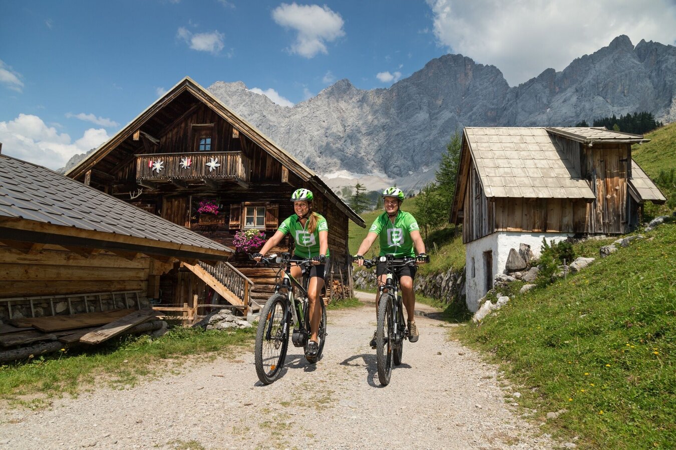
The Bike & Hike tour at the foot of the Dachstein is one of the scenic tours in the region. The varied loop leads along easy bike paths, climbing mountain roads and idyllic forest roads through some of the most beautiful landscapes in the area. Along the way you will enjoy impressive panoramic views of the Schladminger Tauern and the mighty Dachstein.
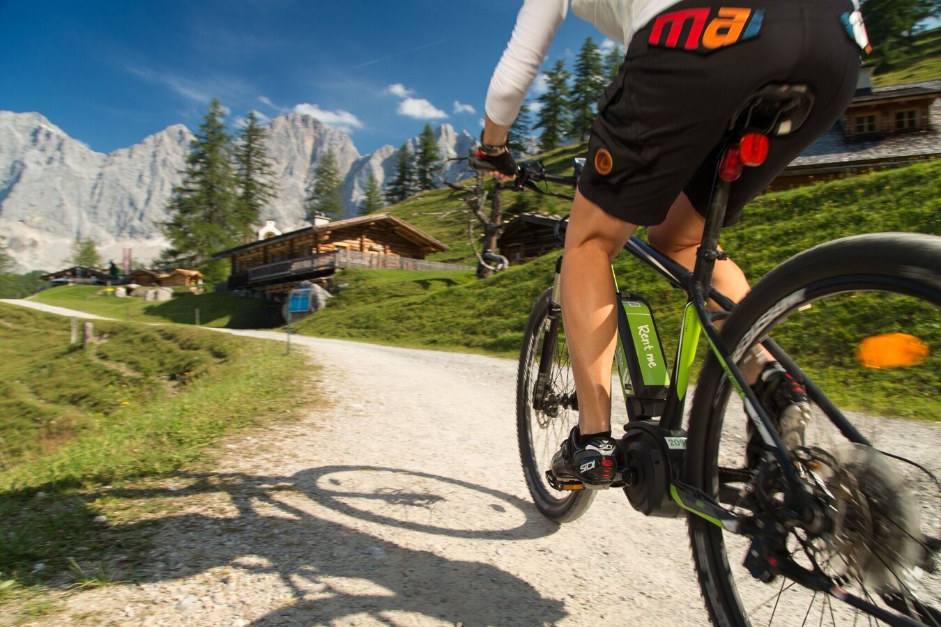
A possible starting point is the valley station of the Planai gondola in Schladming. From here the route leads via Birnberg to Ramsau and further past Gasthof Edelbrunn to Brandalm. There are seven charging stations for Bosch batteries available at Brandalm.
From Brandalm the tour continues through the beautiful alpine pasture area towards Bachlalm. After Bachlalm a longer descent follows down to Filzmoos to the Grahsteg reservoir. The route then continues to Mandlberggut before leading via Mandling and along the Enns Cycle Path back to Schladming and the starting point.
Along the route there are several opportunities to charge your e-bike. The charging stations are shown in the map and the elevation profile – please bring the appropriate charging equipment.
Hiking tip: Alpine stroll
Highlight:
A detour to the Dachstein Glacier cable car is worth it to experience the spectacular Dachstein south face up close.
A seat reservation is required for the gondola ride.
The tour
Map, elevation profile & further information
The tour starts at the Planai valley station in Schladming and leads via the district of Untere Klaus and Birnberg to Ramsau. From there the route continues past Gasthof Edelbrunn to Brandalm and finally to Türlwandhütte at 1,750 m above sea level – a perfect place for a break with views of the Dachstein.
The route then continues through the Ramsau alpine pasture area to Bachlalm, past the Grahsteg reservoir and through Filzmoos to Mandlberggut.
From there the tour leads via Mandling and Gleiming along the Enns Cycle Path R7 back to Schladming to the starting point.
Follow the A10 to Altenmarkt. There join the B320 and continue in the direction of Liezen. At the Schladming exit, turn right at the Jet petrol station and follow Coburgstraße to the Planai car park on the left.
From Graz:
Follow the A9 to Liezen. There join the B320 and continue in the direction of Schladming. At the Schladming exit, turn left at the Jet petrol station and follow Coburgstraße to the Planai car park on the left.
Google-Link
Take the train from Radstadt or St. Michael to Schladming. From there 3 min by bike to the starting point.
Or directly to the "Planet Planai" stop, where there are rental options on site.
Weather conditions in the mountains can change quickly. Thunderstorms, wind, fog and sudden temperature drops are serious hazards. Plan your tour realistically and don’t overestimate your abilities.
In case of thunderstorms: Avoid summits, ridgelines and isolated trees.
Emergency numbers:
140 – Mountain Rescue
112 – European emergency number
Recommended equipment:
Helmet, suitable bike and hiking clothing, sturdy shoes, sufficient water.
Always lock your bike.
There are E-bike charging stations along the route (see map/elevation profile) – bring your charger.
For via ferrata routes: Via ferrata set, helmet, appropriate footwear.
- Plan breaks: Along the route, many mountain huts and inns invite you to stop for a relaxing break and enjoy regional specialties.
- E-mountain bike: With electric support, the tour is also suitable for less experienced bikers. There are several e-bike charging stations along the route. You can see their locations in the map and the elevation profile, which helps you plan your tour and possible charging stops.


