
Haus-Aich
Bike & Hike Tour Brandalm
Bike & Hike
Data:

Tour description
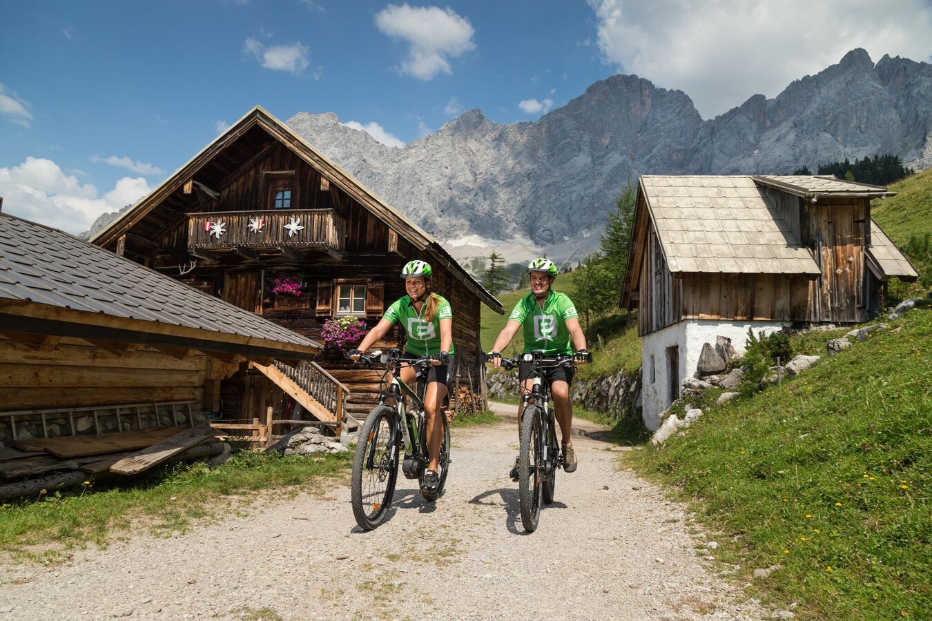
Bike & Hike Tour at the foot of the Dachstein. The tour takes you along pleasant bike paths, ascending mountain roads and idyllic forest roads past some of the most beautiful vantage points in the region. At the Brandalm there are 7 Bosch battery chargers available.
Hiking tip:Alpine hike
The tour
difficult
Starting and end point
WM-Park Planai
Tour characteristics
Fitness (5/6)
Information
Distance: 54.48 km
Duration:
7 h 45 min
Ascent: 1405 m
Descent: 1404 m
highest point: 1696 m
Best season
Jan
Feb
Mar
Apr
May
Jun
Jul
Aug
Sep
Oct
Nov
Dec
Map, elevation profile & further information
Very nice circuit in the direction of the Dachstein area. It starts in Schladming at the Planaistadion, from where it goes along the cycle path towards Lehen. A short ascent to the idyllic village of Birnberg begins at the level crossing. Via forest roads and a dirt track we reach Strimitzen, where a short but selective descent to the country road begins at Lodenwalker. After the ascent in the direction of the Silberkarklamm car park, follow the hiking trail through the forest to Ramsau-Rössing and continue on the country road to Kulm. From Ramsau Ort you go to the inn Edelbrunn and then via the ski trail to the valley station of the Dachstein Glacier Railway. After wonderful views of the imposing Dachstein massif, a short descent along the toll road to the turn-off at the "Neustadt Alm" mountain hut village begins. From there it goes on forest roads and field paths at the foot of the Dachstein towards Bachlalm, where with a little luck you can watch the marmots. After the descent on the closed road you cycle on the country road again in the direction of Ramsau. The descent to the Grahsteg begins at the Auwirt turn-off. A forest road leads towards Filzmoos before a short, steep ascent begins at km 39.8. After a last look at the Dachstein massif, the descent to Mandling begins. There the path leads into the R7 on which you can comfortably reach the starting point of the tour - Schladming.
Stay Safe on Your Bike & Hike
Weather conditions in the mountains can change quickly. Thunderstorms, wind, fog and sudden temperature drops are serious hazards. Plan your tour realistically and don’t overestimate your abilities.
In case of thunderstorms: Avoid summits, ridgelines and isolated trees.
Emergency numbers:
140 – Mountain Rescue
112 – European emergency number
Recommended equipment:
Helmet, suitable bike and hiking clothing, sturdy shoes, sufficient water.
Always lock your bike.
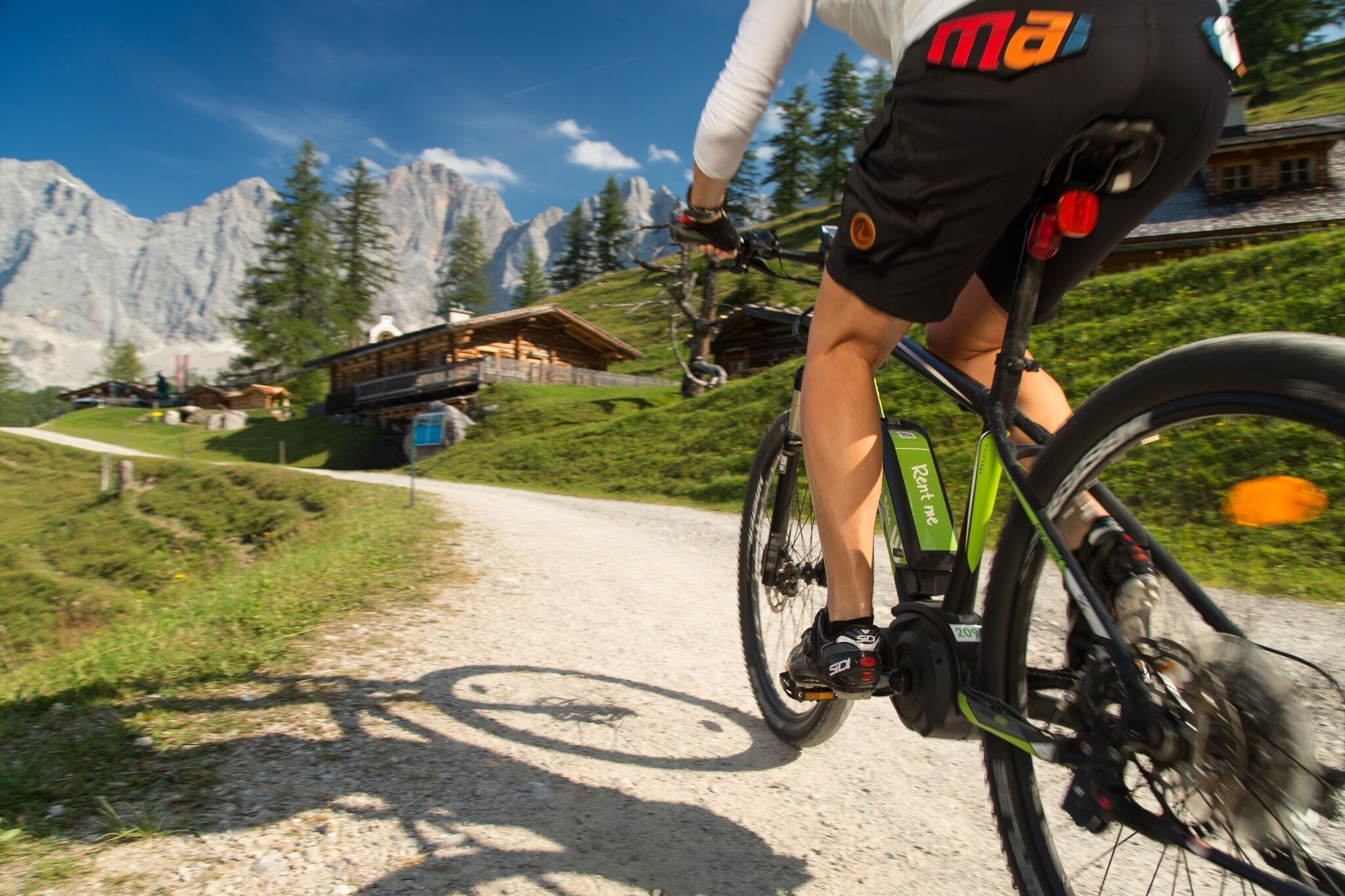
There are E-bike charging stations along the route (see map/elevation profile) – bring your charger.
For via ferrata routes: Via ferrata set, helmet, appropriate footwear.
Weather conditions in the mountains can change quickly. Thunderstorms, wind, fog and sudden temperature drops are serious hazards. Plan your tour realistically and don’t overestimate your abilities.
In case of thunderstorms: Avoid summits, ridgelines and isolated trees.
Emergency numbers:
140 – Mountain Rescue
112 – European emergency number
Recommended equipment:
Helmet, suitable bike and hiking clothing, sturdy shoes, sufficient water.
Always lock your bike.
There are E-bike charging stations along the route (see map/elevation profile) – bring your charger.
For via ferrata routes: Via ferrata set, helmet, appropriate footwear.


