

Roßfeld Nature Path

Tour description
This educational and scenic hike leads from the summit of the Hochwurzen via the Kleine Wurzen to the Roßfeld, not only getting you in better shape, but also expanding your knowledge!
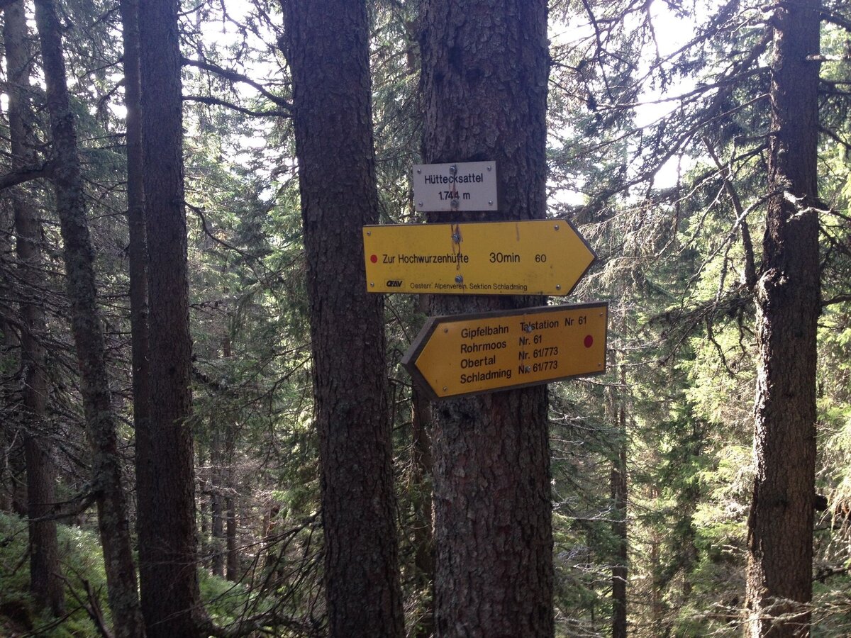
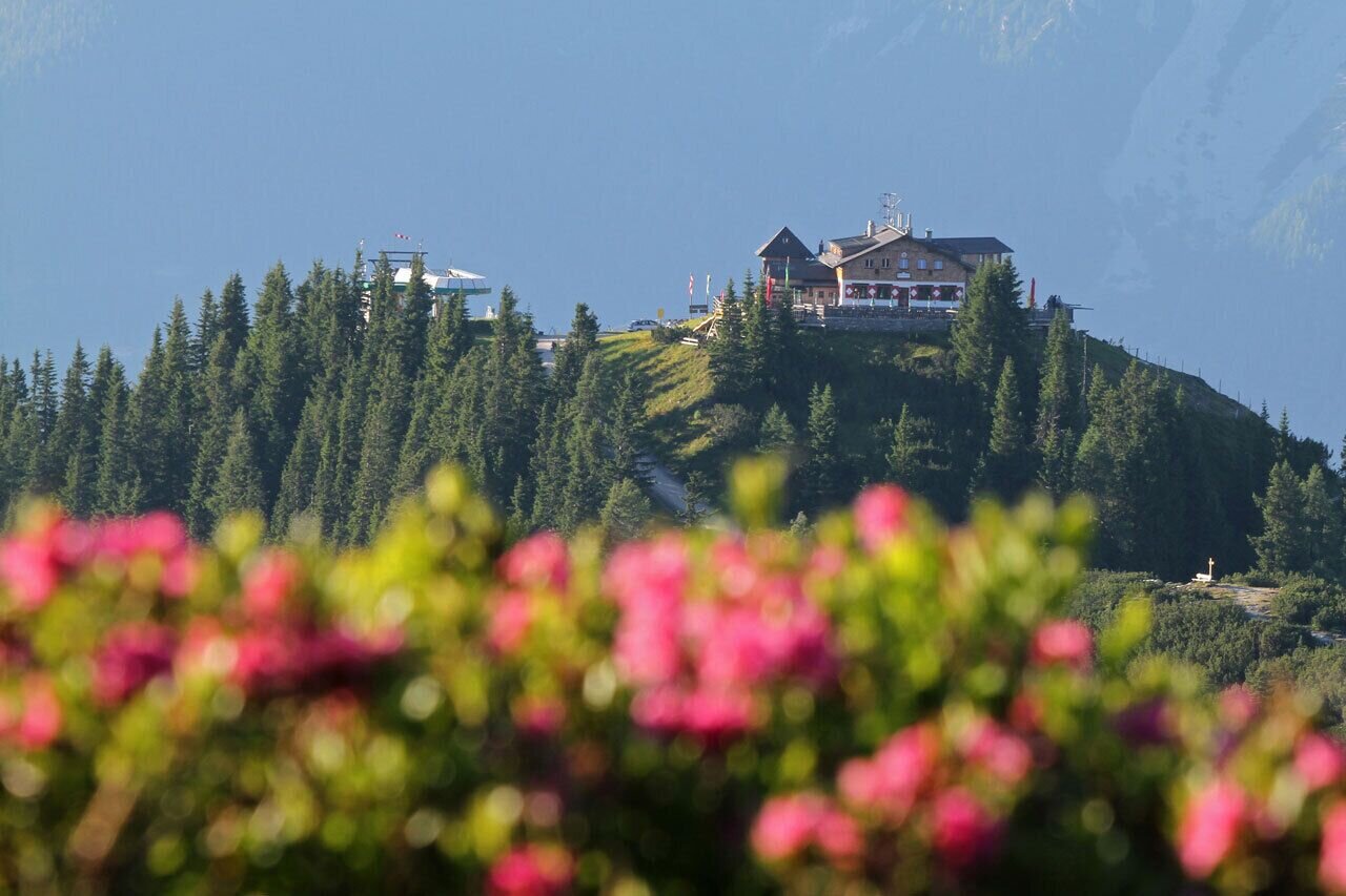
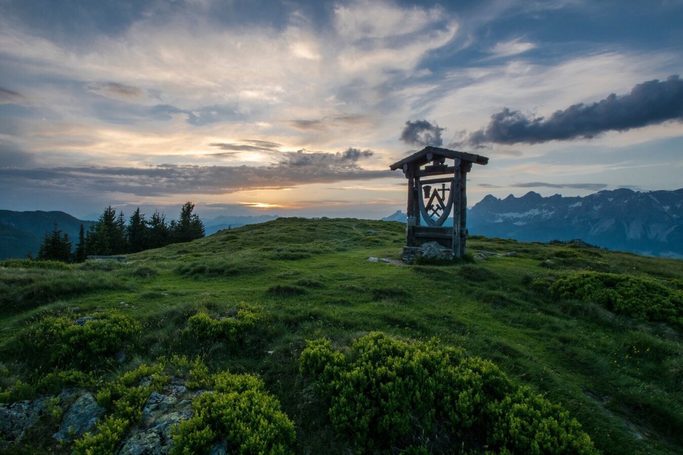
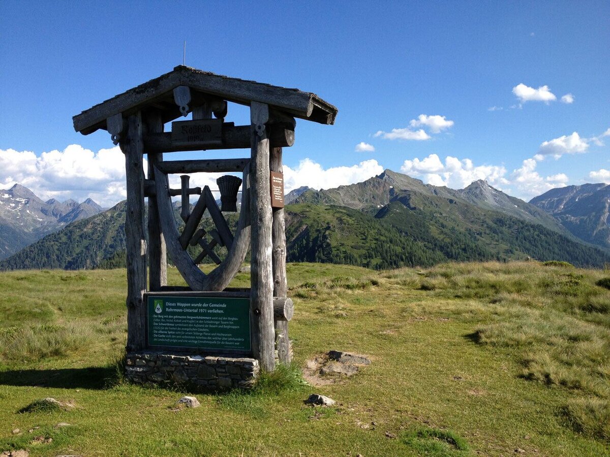
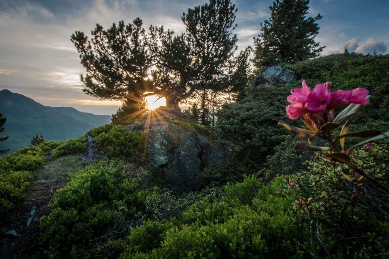
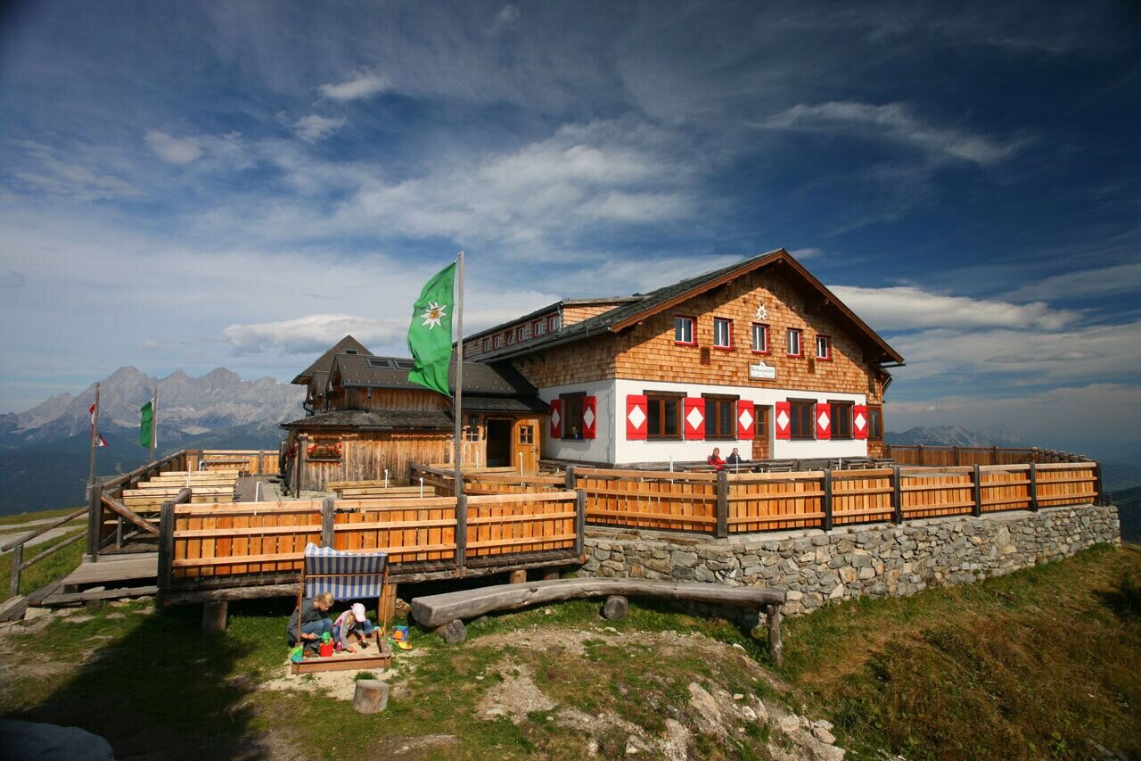
Roßfeld Nature Path teaches about Fauna and Flora of the region (in German only). It is an easy hike for people of every age. The wide and easy hiking trail first takes you down to Hüttecksattel mountain saddle and from there up to Roßfeld (meaning "steed meadow" or "steed fur"). The Roßfeld Nature Path is an extended variant of the "Bankerlweg" family trail. Up on the way to Roßfeld summit you pass by an 1000-year-old pine tree. On top the "summit sculpture" shows the coat of arms of Rohrmoos.
The tour
Map, elevation profile & further information
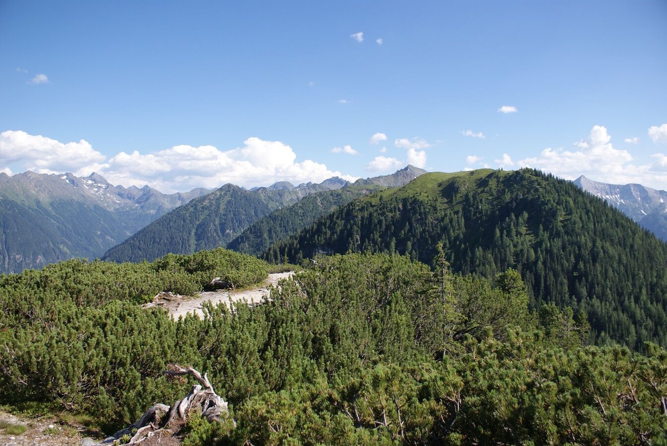
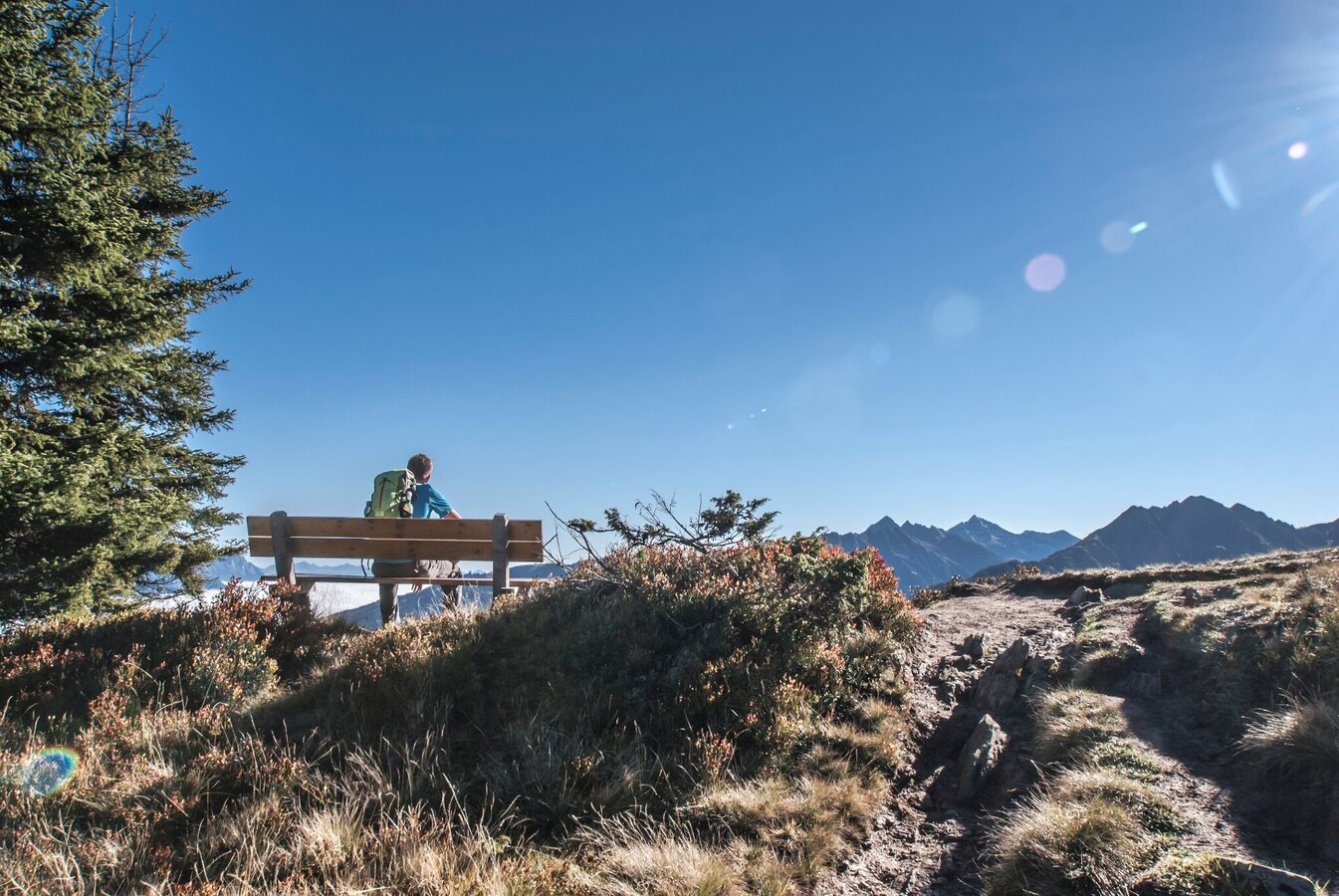
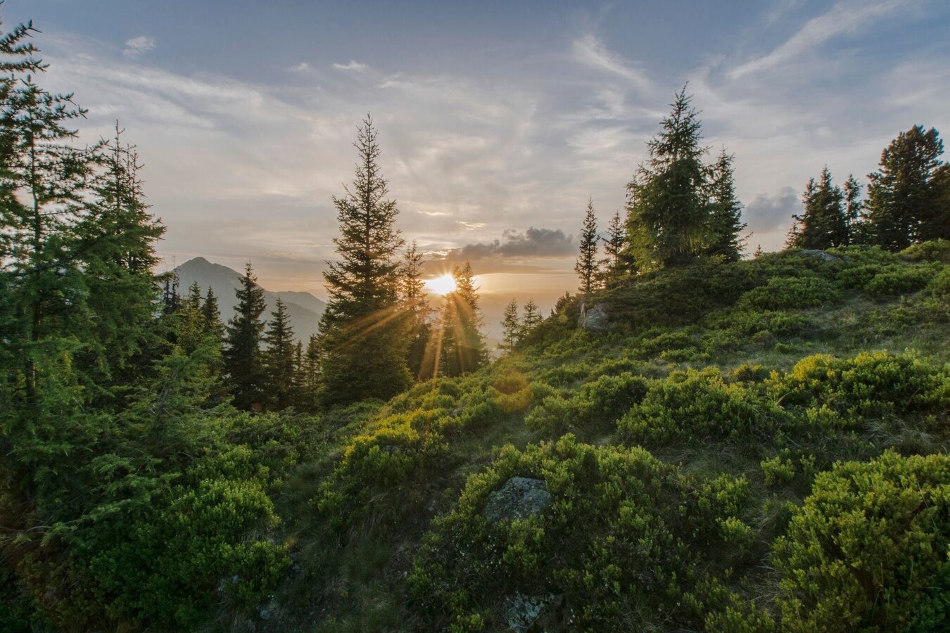
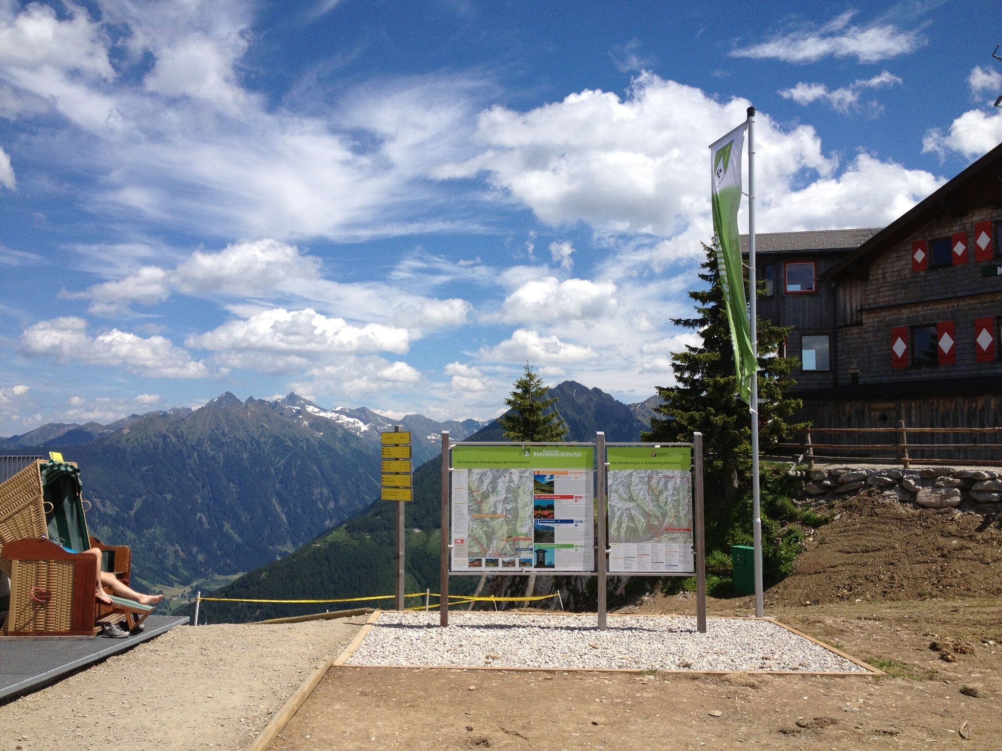
From the summit of Hochwurzen (1,852 m) the trail first heads East and you pass by the Hochwurzenhütte towards Hochwurzenalm (Hochwurzenalm is open only in winter). It then leads past the Hochwurzenalm and "Kleine Wurzen" (1,840 m) to the Hüttecksattel mountain saddle (1,744 m), continuing downhill to the trail crossing for Roßfeld. Along the outstandingly designed forest trail, we are greeted by numerous info boards with fascinating information about local flora and fauna. What’s that little flower growing over there? Which animals live here? And what’s the name of that mountain ? All of these »instructive« activities shorten the climb to the Roßfeld (1,919 m), and you’ll have the hike under your belt before you know it. The Roßfeld lies just beyond the tree line, affording glorious views of the surrounding mountains. Return via the same route and, if you want to, deepen your knowledge even more!
- Buses of Planai-Hochwurzen-Bahnen: www.planaibus.at
Changes in weather patterns, quick falls in temperature, thunderstorms, wind, fog and snow are some of the dangers that can be encountered on a hiking tour. Hosts of alpine huts and mountain refuges have a lot of experience in the mountains and can give good advice about weather and the trails. Poor equipment, overestimation of one's own capabilities, carelessness, poor personal constitution and/or wrong judgement can lead to critical situations. In case of thunderstorms: avoid summits, ridges and steel ropes.
GPS data and orienteering
Available GPS data - just like hiking maps - is only a guidance for orientation and can never depict a trail exactly with all its details. Especially at dangerous spots it is essential to judge on site how to proceed.
In an emergency please call:
- 140 - for Alpine emergencies (all over Austria)
- 112 - European GSM emergency number
From Hochwurzen you can make your way downhill on the 7 km long Hochwurzenstraße road with Mountain Gokarts. Make your reservation for a Go Kart at Schi Lenz next to the valley terminal of Gipfelbahn Hochwurzen cable-car. Arriving back from the hike to Roßfeld you then can make your way downhill on the gokart :)
Insider tip:
Experience the sunrise or sundown on Roßfeld. It is a simply unique and moving experience! To do so, you have to ascend/descend to Roßfeld either via trail #61 (via Hüttecksattel mountain saddle) or trail #773 (via Latterfußsattel mountain saddle).
Tourist information: www.schladming.com
Information about bus schedules: www.planaibus.at
Information about cable-car hours: www.planai.at
- Hiking map ‘Hiking WEST’ available at the information offices in the region.
- Schladming hiking map, 1:25,000, available at the Schladming information office.
- Hiking map Schladming-Dachstein, 1:50,000, available at the information offices in the region.
- Hiking guide Schladming-Dachstein by Herbert Raffalt, available at the information offices in the region.


